Browsed by
Tag: Moose

Lakes Basin Loop

Lakes Basin Loop

July 16, 2016 The plan: Lakes Basin Loop outside of Graeagle, Calif., starting at the Round Lake trailhead, connection with the Pacific Crest Trail and looping back via near Mud Lake/Long Lake. Approximately eight miles and 1,500 feet of elevation gain.   After the Mt. Elwell hike that Shannon and I did back in June, I had been itching to get back up to the Plumas National Forest and the Lakes Basin area. This had been on the to-do list…
Read More Read More

Mount Elwell

Mount Elwell

  June 30, 2016. The plan: The Mount Elwell peak in Plumas National Forest, near Graeagle, Calif. Some 14 years ago, Shannon and I both said “I do” on a nice piece of earth overlooking Lake Tahoe. It sure seems like we’re usually in Oregon each year for our anniversary on our usual camping trip or visiting friends in Bend, but we weren’t leaving this year for another day or so. The in-laws agreed to take the kids for the…

Read More Read More

Monkey Rock and Hidden Beach

Monkey Rock and Hidden Beach

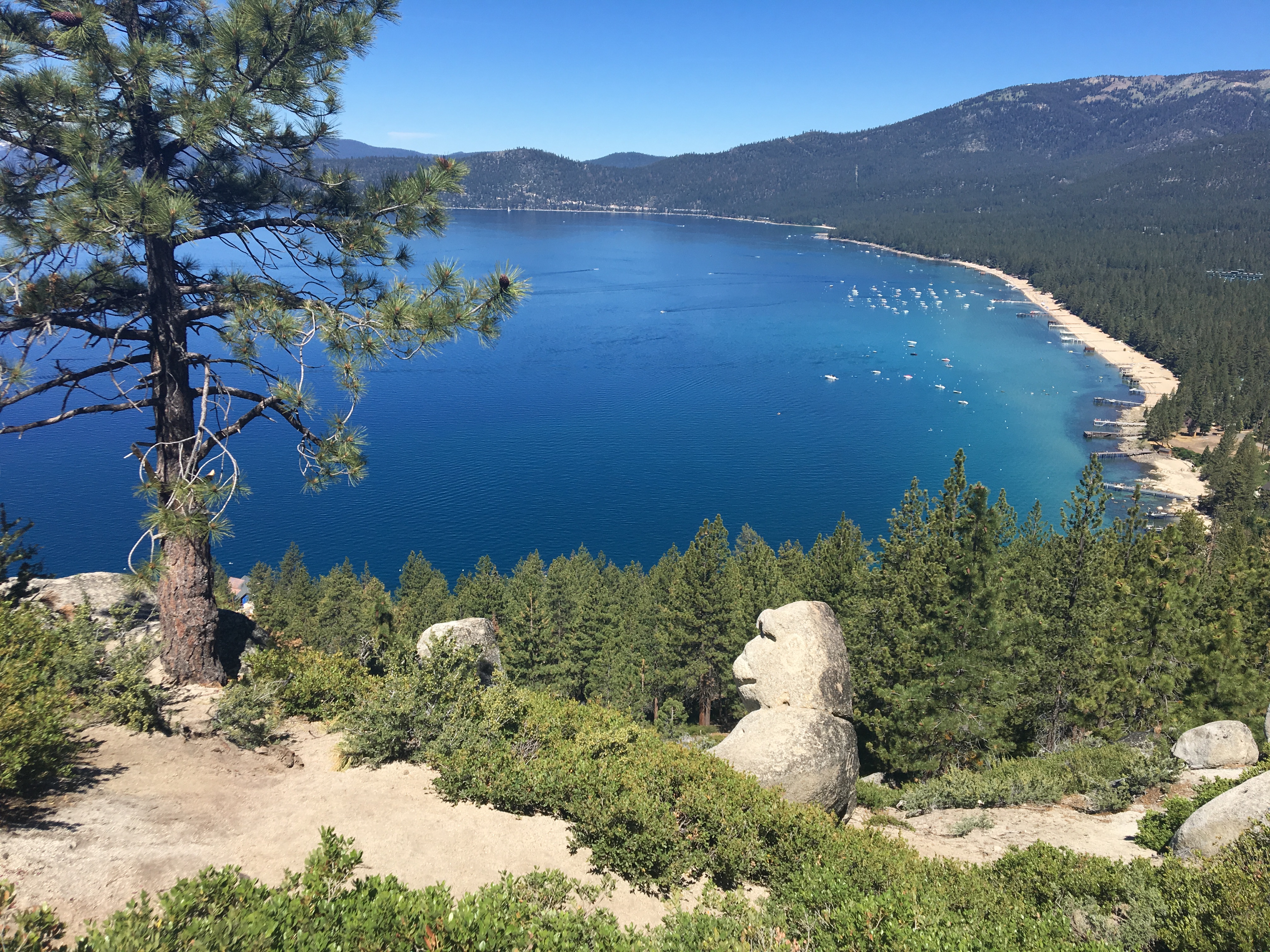
The plan: Find the Monkey Rock, a decent-sized piece of granite whose features resemble that of a monkey head, near Incline Village off the Flume Trail. I remember hearing about Monkey Rock a year or two ago and a friend posted a shot on Instagram recently, which served as a bit of a reminder that I wanted to check it out. A quick search for details and/or directions wasn’t overly helpful, save for the very cool Forever Adventuring blog I…

Read More Read More

Backtracking: Church’s Pond in the Mt. Rose Wilderness

Backtracking: Church’s Pond in the Mt. Rose Wilderness

Note: I intend to cover some hikes and trips that I did before the launch of this blog. Hence the “backtracking” title. The plan: Galena Creek Trail. Church’s Pond, from the Galena Creek Center off Mount Rose Highway. Per Mike White, the full loop is a “difficult” 10-mile jaunt, up Jones Creek canyon to a ridgeline – where the spur trail leads off to Church’s Pond – and down the north side of the ridge through Whites Creek canyon. Hiked…

Read More Read More

Tahoe Rim Trail: Spooner Summit to South Camp Peak (almost)

Tahoe Rim Trail: Spooner Summit to South Camp Peak (almost)

May 15, 2016  The plan: A stretch of the Tahoe Rim Trail on the east side of the lake, heading south from Spooner Summit to South Camp Peak. Per Mike White, a 10.4-mile out-and-back to the plateau of South Camp Peak, yielding some of the best views of Lake Tahoe. — This marked the first day hike of the spring with Shannon, the one for whom I have forsaken all others. The weather was perfect – sunshine but a little…

Read More Read More